|
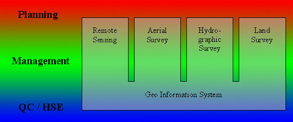
Remote Sensing
- search for available and suitable satellite imagery from commercial providers worldwide
- placing of purchase and/or tasking order
- Consulting service for:
production of wide area satellite image maps,
land cover/land use classification,
road mapping,
change detection,
thematic interpretation of optical remote sensing data,
stereoscopic and interferometric extraction of DEM back to start
Aerial Survey
- survey mission planning
- optimal choice of survey equipment and survey parameters
- contractor evaluation support
- provision of expert knowledge for project progress tracking
- Consulting service for:
aerial image acquisition
Aerotriangulation / Bundle Block Adjustment
DEM and breakline production
Vector information collection
Digital Orthophoto production
- Quality assurance back to start
Hydrographic Survey
- survey mission planning
- optimal choice of survey equipment and survey parameters
- contractor evaluation support
- provision of expert knowledge for project progress tracking
- Consulting service for:
Multi-Beam sonar survey
Single-Beam sonar survey
Sidescan sonar survey
Subbottom profiling
Magnetometer survey
navigation solutions and data processing
sonar data processing
- Quality assurance back to start
Land Survey
- survey mission planning
- optimal choice of survey equipment and survey parameters
- contractor evaluation support
- provision of expert knowledge for project progress tracking
- Consulting service for:
Tachymetric survey
GPS survey
terrestrial photogrammetry
- Quality assurance back to start
GeoInformation Systems
- choice of suitable GIS software solution
- contractor evaluation support
- provision of expert knowledge for project progress tracking
- consulting service for:
setup of Data base structures
data conversion and import
data analysis
GIS update strategies
- data visualization
- map production back to start
|